Kybi's Photo Gallery | Mexico | marshland in Tabasco
Login | Contact | Register |

Advanced Search
Show a Google Map View Slideshow View Slideshow (Fullscreen) View in Google Earth

Random Image

P5240062.JPG


Date: 24.05.2005 Views: 4207

WARNING: block core.NavigationLinks doesn't exist.

marshland in Tabasco

Kybi's Photo Gallery Mexico
FirstPrevious
NextLast
marshland in Tabasco
 
 
Dasa and Kybi by Catemaco countryside close to Catemaco lake road around Catemaco lake Dasa eating torta in La Magdalena
Dasa on the road a bridge after Minatitlan giant Olmec head in La Venta marshland in Tabasco
camping place in Benito Juarez, Tabasco Sánchez Magallanes Mexican Bay coastal road Mexican Bay coastal road
Mexican Bay coastal road Mexican Bay coastal road Mexican Bay coastal road Damaged coastal road - Mexican Bay - Sánchez Magallanes
First ImagePrevious Page
1 2 3 4 5 6
Next PageLast Image
Date: 25.02.2010
Views: 12121

Photo Location Map

Photo Coordinates: 18.134516°, -93.995349°
Close

Close

Close

Photo Properties

summary  details
Aperture Value f/3.5 Focal Length 17.2 mm
ISO 100 Shutter Speed Value 1/500 sec
IPTC: Caption 
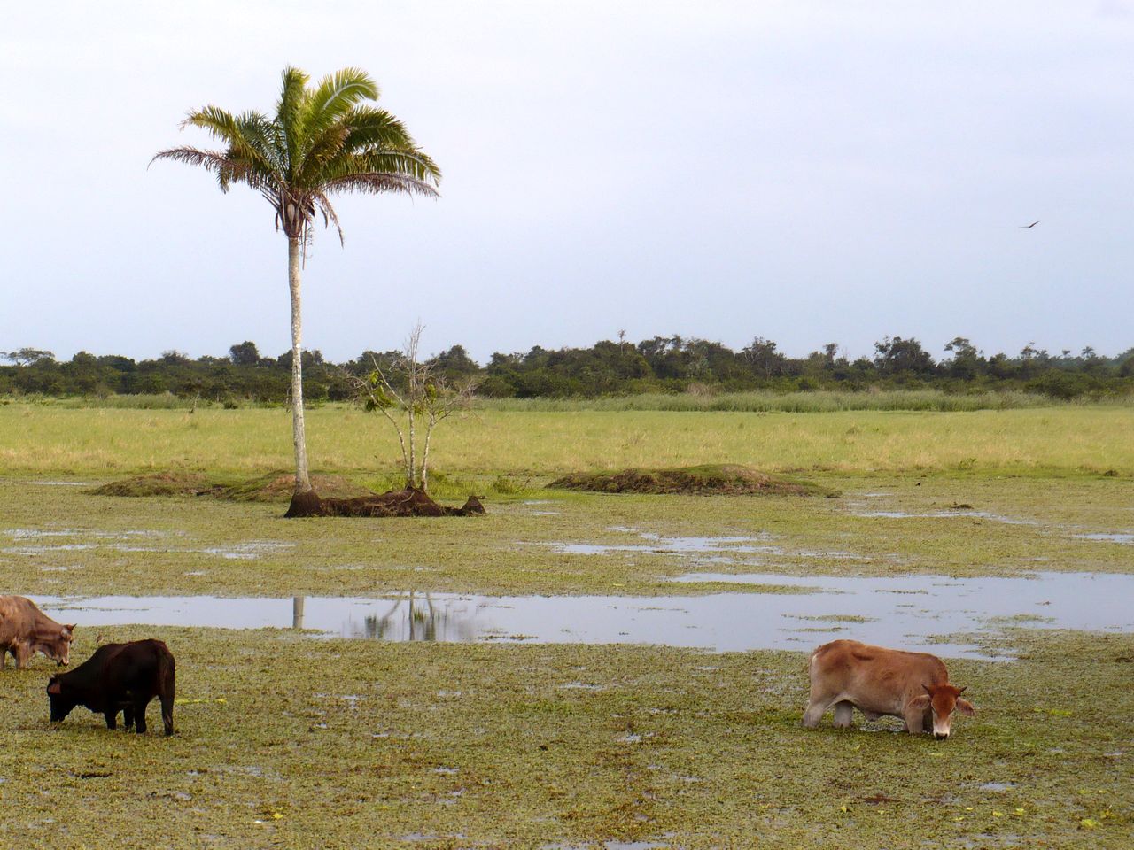
Taken at Latitude/Longitude:18.134516/-93.995349. 3.13 km West Miguel Hidalgo Tabasco Mexico <a href="http://www.geonames.org/maps/google_18.134516_-93.995349.html"> (Map link)</a> Date/Time Thu 25 Feb 2010 04:30:59 PM CET
IPTC: City Miguel Hidalgo IPTC: Country Name Mexico
IPTC: Province State Tabasco IPTC: Sub Location 3.13 Km West Miguel Hidalgo

Close
Photo Coordinates: 18.134516°, -93.995349°

Photo Location Map


 G2.2 
 ::  X_treme by PedroGilberto.net
© 2003-2016 - kybi.sk (all rights reserved)
Powered by Gallery (http://gallery.menalto.com/) with X_treme theme(for G2.2) by Pedro Gilberto (http://www.pedrogilberto.net)