|
|
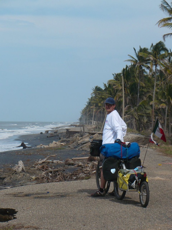
Damaged coastal road - Mexican Bay - Sánchez Magallanes
|
|
|
|
|
|
|
|
|
Date: 26.02.2010
Views: 17436
|
|
|
|
|
|
Photo Coordinates:
18.378261°, -93.627315°
|
|
|
|
|
|
|
Photo Properties
|
Aperture Value
|
f/11
|
Focal Length
|
24.30 mm
|
|
ISO
|
100
|
Shutter Speed Value
|
1/200 sec
|
|
IPTC: Caption
|
Taken at Latitude/Longitude:18.378261/-93.627315. 1.18 km West El Alacrán Tabasco Mexico <a href="http://www.geonames.org/maps/google_18.378261_-93.627315.html"> (Map link)</a>
|
Date/Time
|
Fri 26 Feb 2010 02:44:00 PM CET
|
|
IPTC: City
|
El Alacrán
|
IPTC: Country Name
|
Mexico
|
|
IPTC: Province State
|
Tabasco
|
IPTC: Sub Location
|
1.18 Km West El Alacrán
|
|
|
|
|
|
Photo Coordinates:
18.378261°, -93.627315°
|
|
|
|
|
|
|
|
Powered by Gallery (http://gallery.menalto.com/) with X_treme theme(for G2.2) by Pedro Gilberto (http://www.pedrogilberto.net)
|


