|
|
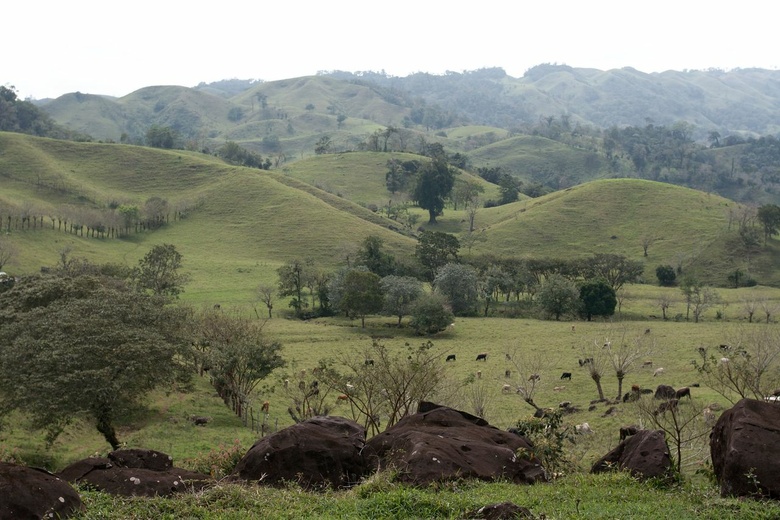
countryside close to Catemaco lake
|
|
|
|
|
|
|
|
|
Date: 23.02.2010
Views: 14978
|
|
|
|
|
|
Photo Coordinates:
18.349749°, -95.016423°
|
|
|
|
|
|
|
Photo Properties
|
Aperture Value
|
f/6.3
|
Focal Length
|
32 mm
|
|
ISO
|
100
|
Shutter Speed Value
|
1/250 sec
|
|
IPTC: Caption
|
Taken at Latitude/Longitude:18.349749/-95.016423. 1.73 km West Los Lirios Veracruz-Llave Mexico <a href="http://www.geonames.org/maps/google_18.349749_-95.016423.html"> (Map link)</a>
|
Date/Time
|
Tue 23 Feb 2010 01:34:03 PM CET
|
|
IPTC: City
|
Los Lirios
|
IPTC: Country Name
|
Mexico
|
|
IPTC: Province State
|
Veracruz-Llave
|
IPTC: Sub Location
|
1.73 Km West Los Lirios
|
|
|
|
|
|
Photo Coordinates:
18.349749°, -95.016423°
|
|
|
|
|
|
|
|
Powered by Gallery (http://gallery.menalto.com/) with X_treme theme(for G2.2) by Pedro Gilberto (http://www.pedrogilberto.net)
|


