|
|
|
|
|
|
Date: 04.03.2010
Views: 18406
|
|
|
|
|
|
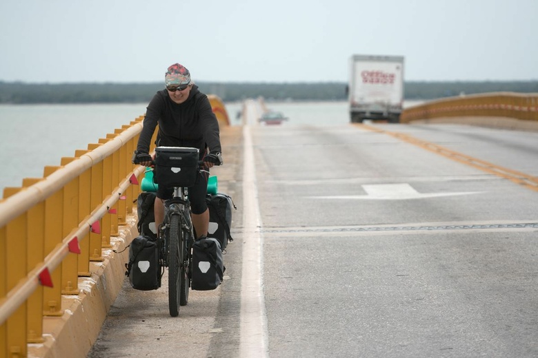
Photo Coordinates:
18.626623°, -91.832040°
|
|
|
|
|
|
|
Photo Properties
|
Aperture Value
|
f/4
|
Focal Length
|
168 mm
|
|
ISO
|
100
|
Shutter Speed Value
|
1/1600 sec
|
|
IPTC: Caption
|
Taken at Latitude/Longitude:18.626623/-91.832040. 0.76 km South Ciudad del Carmen Campeche Mexico <a href="http://www.geonames.org/maps/google_18.626623_-91.832040.html"> (Map link)</a>
|
Date/Time
|
Thu 04 Mar 2010 11:52:13 AM CET
|
|
IPTC: City
|
Ciudad del Carmen
|
IPTC: Country Name
|
Mexico
|
|
IPTC: Province State
|
Campeche
|
IPTC: Sub Location
|
0.76 Km South Ciudad del Carmen
|
|
|
|
|
|
Photo Coordinates:
18.626623°, -91.832040°
|
|
|
|
|
|
|
|
Powered by Gallery (http://gallery.menalto.com/) with X_treme theme(for G2.2) by Pedro Gilberto (http://www.pedrogilberto.net)
|


