|
|
|
|
|
|
Date: 14.03.2010
Views: 16477
|
|
|
|
|
|
Photo Coordinates:
20.685052°, -88.804476°
|
|
|
|
|
|
|
Photo Properties
|
Aperture Value
|
f/7.1
|
Focal Length
|
21 mm
|
|
ISO
|
100
|
Shutter Speed Value
|
1/100 sec
|
|
IPTC: Caption
|
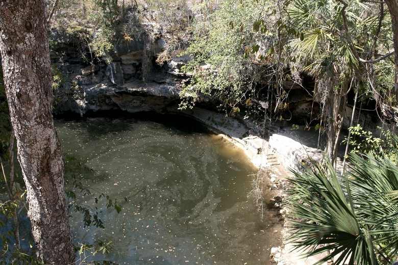
Taken at Latitude/Longitude:20.685052/-88.804476. 2.09 km South-East Libre Unión Yucatán Mexico <a href="http://www.geonames.org/maps/google_20.685052_-88.804476.html"> (Map link)</a>
|
Date/Time
|
Sun 14 Mar 2010 01:29:13 PM CET
|
|
IPTC: City
|
Libre Unión
|
IPTC: Country Name
|
Mexico
|
|
IPTC: Province State
|
Yucatán
|
IPTC: Sub Location
|
2.09 Km South-East Libre Unión
|
|
|
|
|
|
Photo Coordinates:
20.685052°, -88.804476°
|
|
|
|
|
|
|
|
Powered by Gallery (http://gallery.menalto.com/) with X_treme theme(for G2.2) by Pedro Gilberto (http://www.pedrogilberto.net)
|


