Are you using a browser that doesn't support JavaScript?
If your browser does not support JavaScript, you can upgrade to a newer browser, such as
Microsoft® Internet Explorer 6
,
Netscape 6
or
Firefox 5.1
.
Have you disabled JavaScript?
If you have disabled JavaScript, you must re-
enable
JavaScript to use this site full features.
Kybi's Photo Gallery
|
Mexico 2
|
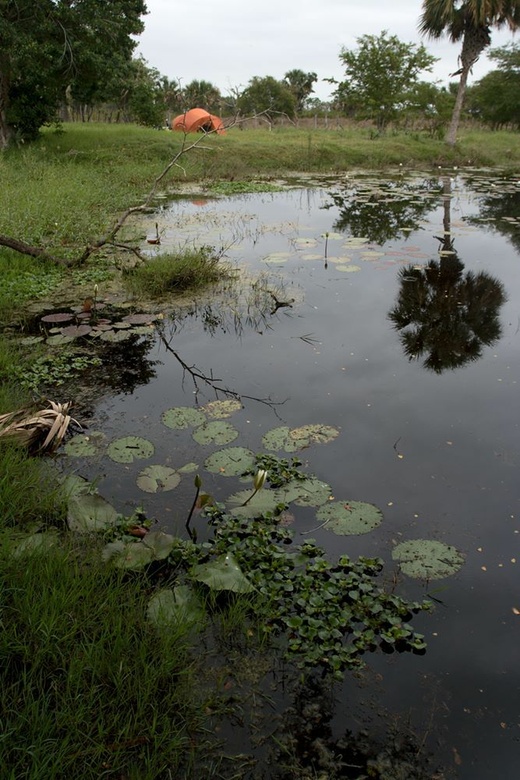
camping spot after Frontera in Tabasco
Login
|
Contact
|
Register
|
Advanced Search
Show a Google Map
View Slideshow
View Slideshow (Fullscreen)
View in Google Earth
Random Image
Island_319.jpg
Date: 22.08.2004
Views: 2049
WARNING: block core.NavigationLinks doesn't exist.
camping spot after Frontera in Tabasco
1
2
3
4
5
6
7
8
9
10
Date: 03.03.2010
Views: 16113
Photo Location Map
Photo Coordinates: 18.555044°, -92.604788°
Photo Properties
summary
details
Aperture Value
f/5.6
Focal Length
17 mm
ISO
100
Shutter Speed Value
1/60 sec
IPTC: Caption
Taken at Latitude/Longitude:18.555044/-92.604788. km <a href="http://www.geonames.org/maps/google_18.555044_-92.604788.html"> (Map link)</a>
Date/Time
Wed 03 Mar 2010 08:14:27 AM CET
IPTC: Sub Location
Km
Photo Coordinates: 18.555044°, -92.604788°
Photo Location Map
Powered by Gallery (http://gallery.menalto.com/) with X_treme theme(for G2.2) by Pedro Gilberto (http://www.pedrogilberto.net)


