|
|
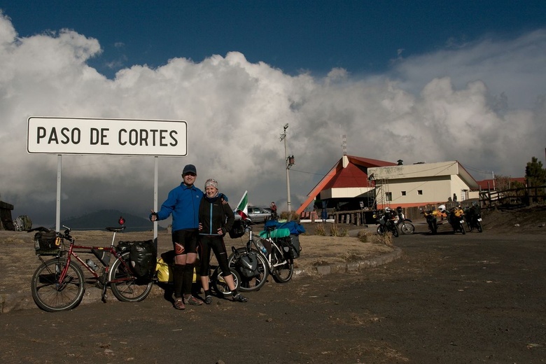
Mexico - Paso del Cortez 3680 m.n.m
|
|
|
|
|
|
|
|
|
Date: 12.02.2010
Views: 17439
|
|
|
|
|
|
Photo Coordinates:
19.086309°, -98.646935°
|
|
|
|
|
|
|
Photo Properties
|
Aperture Value
|
f/8
|
Focal Length
|
20 mm
|
|
ISO
|
100
|
Shutter Speed Value
|
1/1250 sec
|
|
IPTC: Caption
|
Taken at Latitude/Longitude:19.086309/-98.646935. 4.28 km North Tlamacas México Mexico <a href="http://www.geonames.org/maps/google_19.086309_-98.646935.html"> (Map link)</a>
|
Date/Time
|
Fri 12 Feb 2010 04:39:32 PM CET
|
|
IPTC: City
|
Tlamacas
|
IPTC: Country Name
|
Mexico
|
|
IPTC: Province State
|
México
|
IPTC: Sub Location
|
4.28 Km North Tlamacas
|
|
|
|
|
|
Photo Coordinates:
19.086309°, -98.646935°
|
|
|
|
|
|
|
|
Powered by Gallery (http://gallery.menalto.com/) with X_treme theme(for G2.2) by Pedro Gilberto (http://www.pedrogilberto.net)
|


