|
|
|
|
|
|
Date: 10.05.2010
Views: 12818
|
|
|
|
|
|
Photo Coordinates:
15.365262°, -90.479327°
|
|
|
|
|
|
|
Photo Properties
|
Aperture Value
|
f/9
|
Focal Length
|
17 mm
|
|
ISO
|
100
|
Shutter Speed Value
|
1/160 sec
|
|
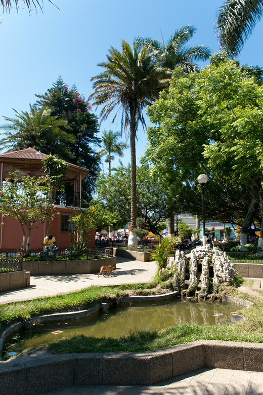
IPTC: Caption
|
San Cristobal Verapaz
|
IPTC: Copyright Notice
|
kybi.sk
|
|
Date/Time
|
Mon 10 May 2010 09:58:33 AM CEST
|
IPTC: City
|
Santo Domingo
|
|
IPTC: Country Name
|
Guatemala
|
IPTC: Province State
|
Alta Verapaz
|
|
IPTC: Sub Location
|
3.57 Km North-West Santo Domingo
|
|
|
|
|
|
Photo Coordinates:
15.365262°, -90.479327°
|
|
|
|
|
|
|
|
Powered by Gallery (http://gallery.menalto.com/) with X_treme theme(for G2.2) by Pedro Gilberto (http://www.pedrogilberto.net)
|


