|
|
|
|
|
|
Date: 12.05.2010
Views: 16796
|
|
|
|
|
|
|
|
|
Photo Properties
|
Aperture Value
|
f/5.6
|
Focal Length
|
36 mm
|
|
ISO
|
100
|
Shutter Speed Value
|
1/80 sec
|
|
IPTC: Caption
|
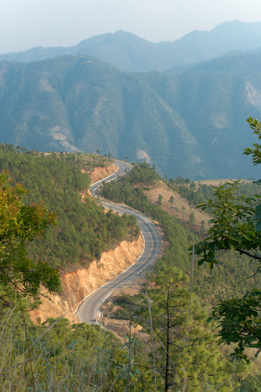
Road down to Sacapulas
|
IPTC: Copyright Notice
|
kybi.sk
|
|
Date/Time
|
Wed, 12 May 2010 17:02:40 +0200
|
IPTC: City
|
Paguayil
|
|
IPTC: Country Name
|
Guatemala
|
IPTC: Province State
|
Quiché
|
|
IPTC: Sub Location
|
0.68 Km North-East Paguayil
|
|
|
|
|
Powered by Gallery (http://gallery.menalto.com/) with X_treme theme(for G2.2) by Pedro Gilberto (http://www.pedrogilberto.net)
|


