|
|
|
|
|
|
Date: 08.04.2010
Views: 5091
|
|
|
|
|
|
Photo Coordinates:
18.270006°, -88.516167°
|
|
|
|
|
|
|
Photo Properties
|
Aperture Value
|
f/7.1
|
Focal Length
|
21 mm
|
|
ISO
|
100
|
Shutter Speed Value
|
1/100 sec
|
|
IPTC: Caption
|
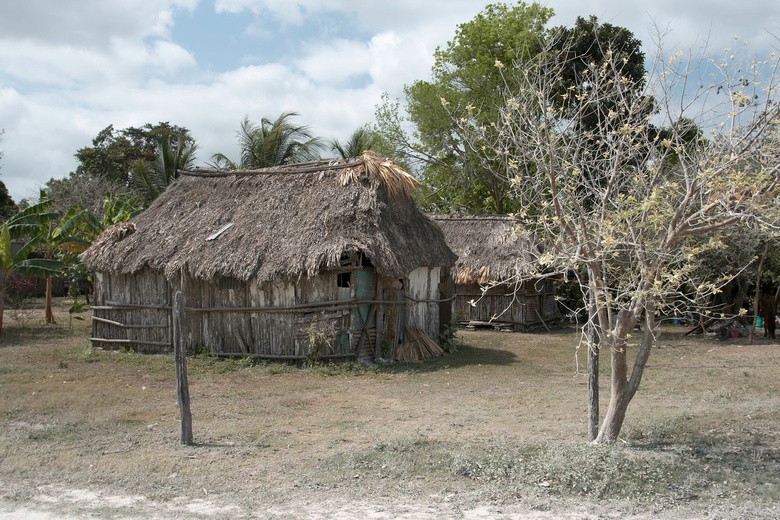
Taken at Latitude/Longitude:18.270006/-88.516167. 2.26 km South-West Santa Clara Corozal Belize <a href="http://www.geonames.org/maps/google_18.270006_-88.516167.html"> (Map link)</a>
|
IPTC: Copyright Notice
|
kybi.sk
|
|
Date/Time
|
Thu 08 Apr 2010 11:00:31 AM CEST
|
IPTC: City
|
Santa Clara
|
|
IPTC: Country Name
|
Belize
|
IPTC: Province State
|
Corozal
|
|
IPTC: Sub Location
|
2.26 Km South-West Santa Clara
|
|
|
|
|
|
Photo Coordinates:
18.270006°, -88.516167°
|
|
|
|
|
|
|
|
Powered by Gallery (http://gallery.menalto.com/) with X_treme theme(for G2.2) by Pedro Gilberto (http://www.pedrogilberto.net)
|


