Are you using a browser that doesn't support JavaScript?
If your browser does not support JavaScript, you can upgrade to a newer browser, such as
Microsoft® Internet Explorer 6
,
Netscape 6
or
Firefox 5.1
.
Have you disabled JavaScript?
If you have disabled JavaScript, you must re-
enable
JavaScript to use this site full features.
Kybi's Photo Gallery
|
Peru - Part 2.
|
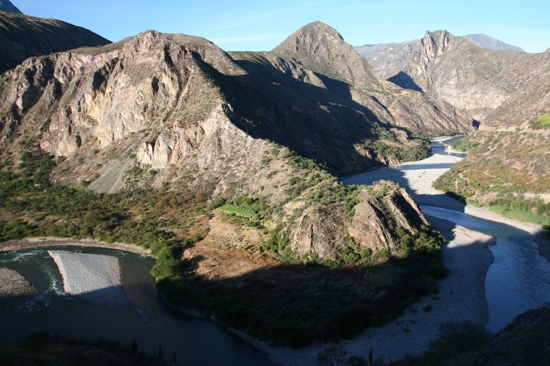
Rio Apurimac
Login
|
Contact
|
Register
|
Advanced Search
Show a Google Map
View Slideshow
View Slideshow (Fullscreen)
View in Google Earth
Random Image
Date: 26.05.2006
Views: 4167
WARNING: block core.NavigationLinks doesn't exist.
Rio Apurimac
1
2
3
4
5
6
7
8
9
10
11
12
13
Date: 02.05.2008
Views: 4006
Photo Location Map
Photo Coordinates: -13.561407°, -72.596248°
Photo Properties
summary
details
Aperture Value
f/5.6
Focal Length
17 mm
ISO
100
Shutter Speed Value
1/80 sec
Date/Time
Fri 02 May 2008 04:39:13 PM CEST
Photo Coordinates: -13.561407°, -72.596248°
Photo Location Map
Powered by Gallery (http://gallery.menalto.com/) with X_treme theme(for G2.2) by Pedro Gilberto (http://www.pedrogilberto.net)


