|
|
|
|
|
|
Date: 14.03.2010
Views: 2554
|
|
|
|
|
|
Photo Coordinates:
20.685136°, -88.804559°
|
|
|
|
|
|
|
Photo Properties
|
Make
|
Canon
|
Model
|
Canon EOS Kiss Digital N
|
|
Aperture Value
|
f/11
|
Exposure Bias Value
|
0 EV
|
|
Exposure Program
|
Program
|
Focal Length
|
17 mm
|
|
ISO
|
400
|
Metering Mode
|
Partial
|
|
Shutter Speed Value
|
1/250 sec
|
Date/Time
|
Sun 14 Mar 2010 01:05:22 PM CET
|
|
Resolution Unit
|
Inch
|
X Resolution
|
300 dots per ResolutionUnit
|
|
Y Resolution
|
300 dots per ResolutionUnit
|
Exposure Mode
|
0
|
|
IPTC: Caption
|
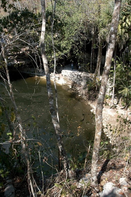
Taken at Latitude/Longitude:20.685136/-88.804559. 2.08 km South-East Libre Unión Yucatán Mexico <a href="http://www.geonames.org/maps/google_20.685136_-88.804559.html"> (Map link)</a>
|
IPTC: Keywords
|
mexico
|
|
|
|
|
|
Photo Coordinates:
20.685136°, -88.804559°
|
|
|
|
|
|
|
|
Powered by Gallery (http://gallery.menalto.com/) with X_treme theme(for G2.2) by Pedro Gilberto (http://www.pedrogilberto.net)
|


