|
|
|
|
|
|
Date: 08.04.2010
Views: 2516
|
|
|
|
|
|
Photo Coordinates:
17.964602°, -88.514496°
|
|
|
|
|
|
|
Photo Properties
|
Make
|
Panasonic
|
Model
|
DMC-LZ7
|
|
Aperture Value
|
f/3.9
|
Exposure Bias Value
|
0 EV
|
|
Exposure Program
|
Program
|
Flash
|
No Flash
|
|
Focal Length
|
24.30 mm
|
ISO
|
100
|
|
Metering Mode
|
Multi-Segment
|
Shutter Speed Value
|
1/250 sec
|
|
Date/Time
|
Thu 08 Apr 2010 04:29:45 PM CEST
|
Resolution Unit
|
Inch
|
|
X Resolution
|
300 dots per ResolutionUnit
|
Y Resolution
|
300 dots per ResolutionUnit
|
|
Contrast
|
0
|
Exposure Mode
|
0
|
|
Saturation
|
0
|
Scene Type
|
01000000
|
|
Sharpness
|
0
|
IPTC: Caption
|
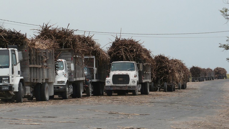
Taken at Latitude/Longitude:17.964602/-88.514496. 6.12 km South Carmelita Orange Walk Belize <a href="http://www.geonames.org/maps/google_17.964602_-88.514496.html"> (Map link)</a>
|
|
IPTC: Copyright Notice
|
kybi.sk
|
IPTC: Keywords
|
belize
|
|
|
|
|
|
Photo Coordinates:
17.964602°, -88.514496°
|
|
|
|
|
|
|
|
Powered by Gallery (http://gallery.menalto.com/) with X_treme theme(for G2.2) by Pedro Gilberto (http://www.pedrogilberto.net)
|


