|
|
|
|
|
|
Date: 16.05.2010
Views: 17725
|
|
|
|
|
|
Photo Coordinates:
14.935580°, -91.443327°
|
|
|
|
|
|
|
Photo Properties
|
Aperture Value
|
f/6.3
|
Focal Length
|
200 mm
|
|
ISO
|
100
|
Shutter Speed Value
|
1/500 sec
|
|
IPTC: Caption
|
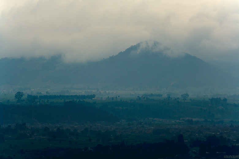
Totonicapán
|
IPTC: Copyright Notice
|
kybi.sk
|
|
Date/Time
|
Sun 16 May 2010 01:30:15 PM CEST
|
IPTC: City
|
Sacmixit
|
|
IPTC: Country Name
|
Guatemala
|
IPTC: Province State
|
Totonicapán
|
|
IPTC: Sub Location
|
1.10 Km West Sacmixit
|
|
|
|
|
|
Photo Coordinates:
14.935580°, -91.443327°
|
|
|
|
|
|
|
|
Powered by Gallery (http://gallery.menalto.com/) with X_treme theme(for G2.2) by Pedro Gilberto (http://www.pedrogilberto.net)
|


