|
|
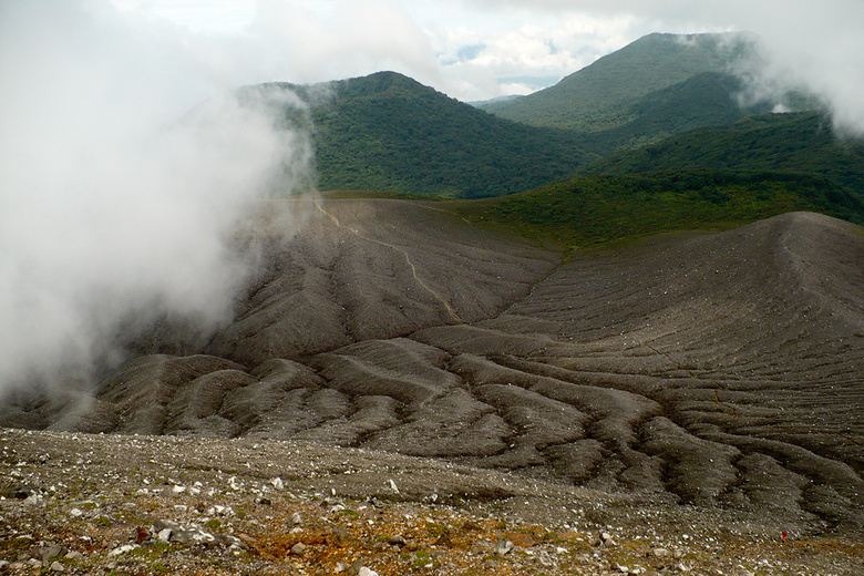
Views from the inactive crater of Volcan Rincon de la Vieja, Costa Rica
|
|
|
|
|
|
|
|
|
Date: 05.08.2010
Views: 21373
|
|
|
|
|
|
Photo Coordinates:
10.826664°, -85.347855°
|
|
|
|
|
|
|
Photo Properties
|
Aperture Value
|
f/2.7999999523163
|
Focal Length
|
6.10 mm
|
|
ISO
|
100
|
Shutter Speed Value
|
1/1000 sec
|
|
IPTC: Caption
|
Views from the inactive crater of Volcan Rincon de la Vieja, Costa Rica
|
IPTC: Copyright Notice
|
kybi.sk
|
|
Date/Time
|
Thu 05 Aug 2010 01:34:49 PM CEST
|
IPTC: City
|
Hacienda Santa María
|
|
IPTC: Country Name
|
Costa Rica
|
IPTC: Province State
|
Guanacaste
|
|
IPTC: Sub Location
|
5.90 Km North-West Hacienda Sant
|
|
|
|
|
|
Photo Coordinates:
10.826664°, -85.347855°
|
|
|
|
|
|
|
|
Powered by Gallery (http://gallery.menalto.com/) with X_treme theme(for G2.2) by Pedro Gilberto (http://www.pedrogilberto.net)
|


